7 Days Naivasha, Nakuru, Bogoria/Baringo, The Ark & Samburu Lodge Safari
Naivasha · Nakuru · Bogoria/Baringo · The Ark · Samburu
Lodge accommodation, with Buraha Zenoni (Lake Nakuru).
A cool, misty volcanic range on the eastern wall of the Rift Valley — forest, moorland, waterfalls and elephants emerging from the trees.
Aberdares in our Kenya guide, with the places around it.
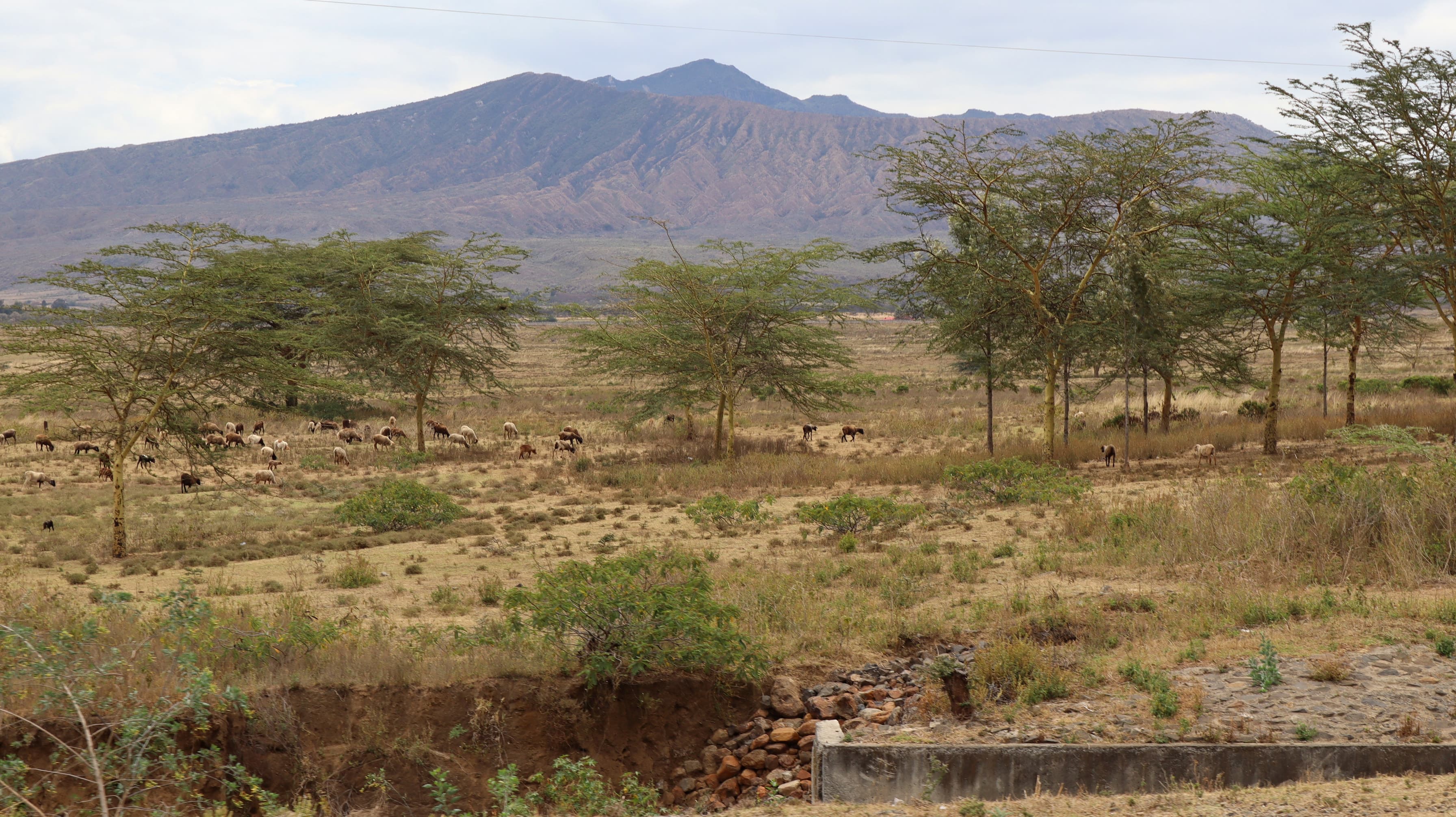
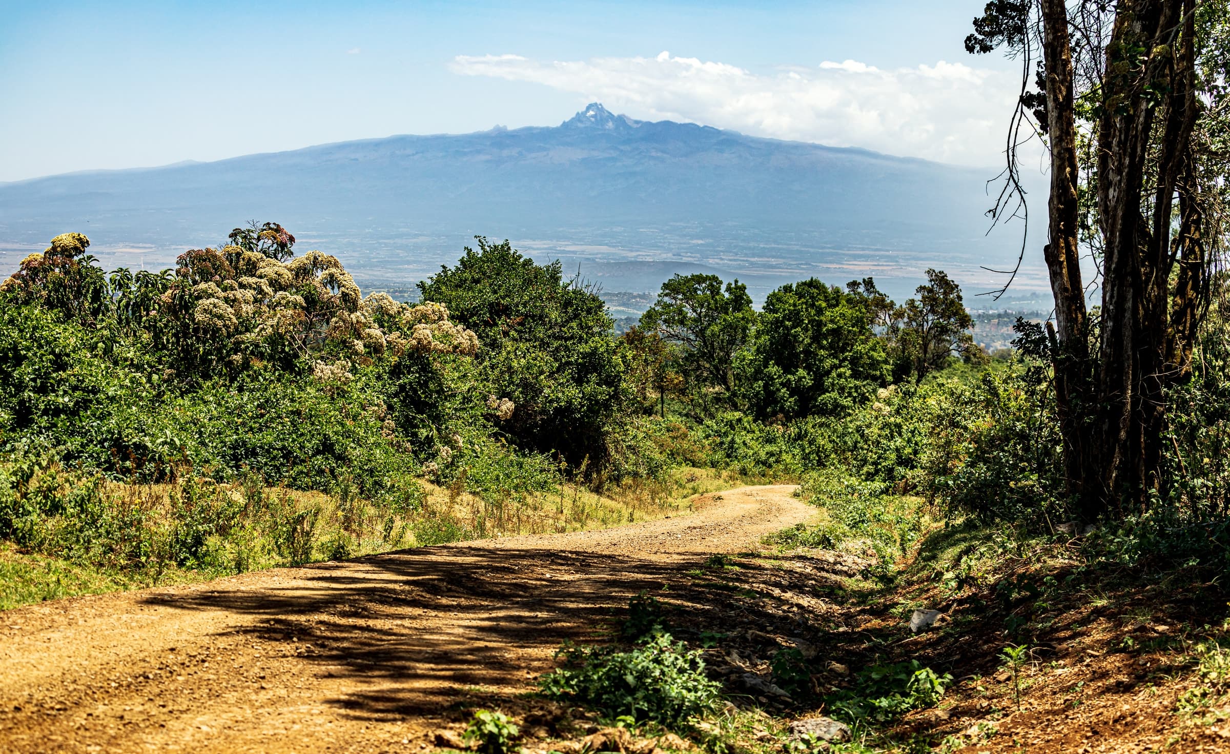
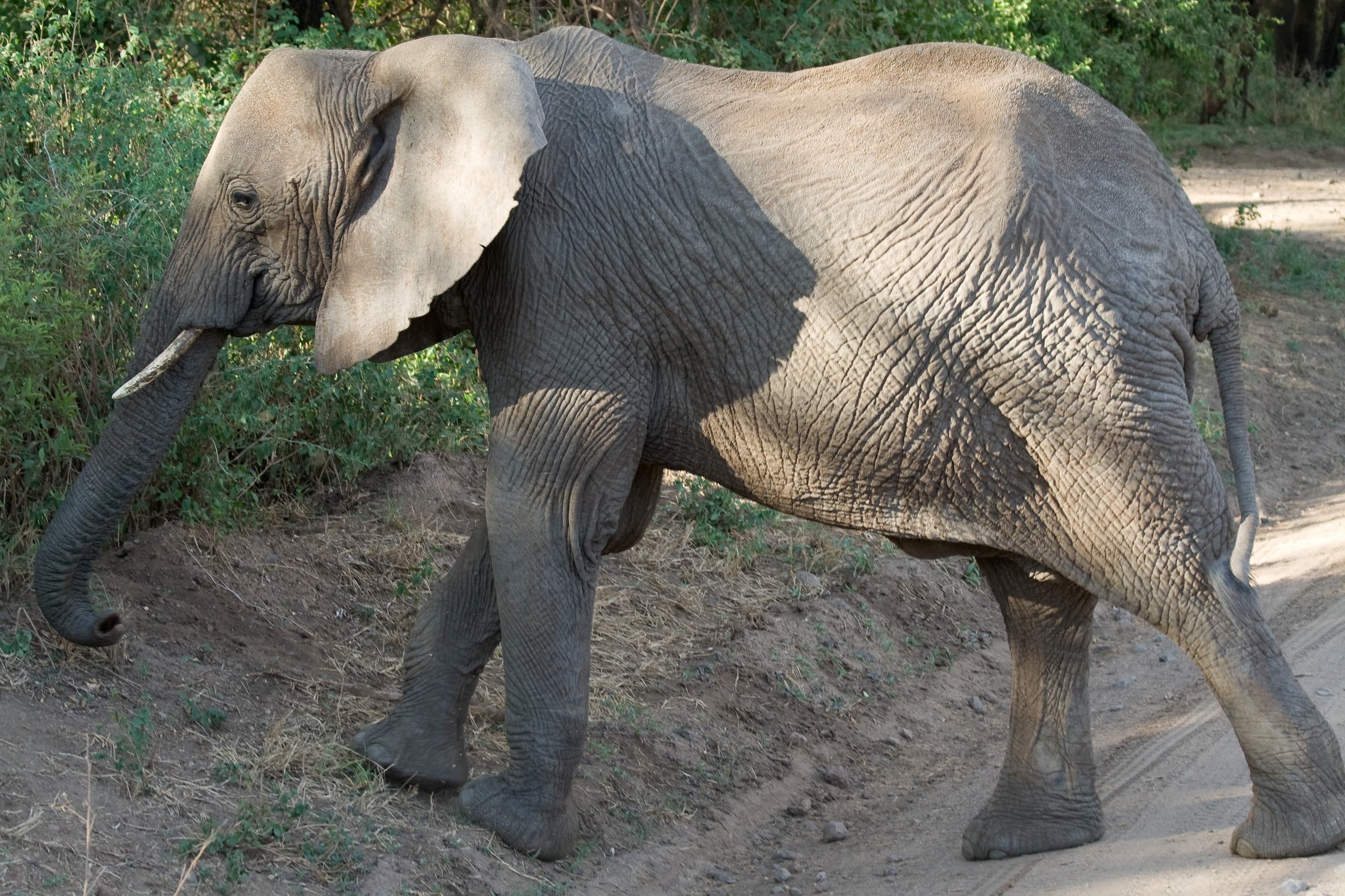
The Aberdares are a striking contrast to the savannah: a cool, mist-cloaked volcanic range on the eastern wall of the Rift Valley, with thick forest, high peaks, deep ravines, icy streams and cascading waterfalls. Elephants and buffalo emerge from the forest, and the cool highland air feels a world away from the plains. Kenya Wildlife Service describes game drives, scenic treks and high viewpoints as the ways to experience it.
History runs through the range. It was at Treetops Lodge in February 1952, on the death of her father King George VI, that Princess Elizabeth learned she had become Queen. The Mau Mau “post office”, a great mugumo fig tree where fighters left messages in holes in its trunk during the struggle for independence, still stands as a reminder of the range’s place in Kenya’s modern history.
Rolling misty valleys, hills, open moorland and dense montane forest make up the park, with high viewpoints and distinctive rock formations such as the Dragon Teeth and the volcanic outcrops known as the Twin Peaks. Hiking trails lead to Mount Satima, the highest peak in the Aberdare Range and, according to Kenya Wildlife Service, the third-highest in Kenya, with views that reward the climb on a clear day.
Wildlife moves freely and sightings are never guaranteed.
Kenya Wildlife Service notes that its mountain and forest parks are an exception to the warm, dry conditions of most parks: the central highlands are cool and humid. It gives April to June, the long rains, as the low season, when roads may need four-wheel drive, and July to March as the main season. The Kenya Meteorological Department adds a second rainy season from October to December, when the forest roads can also be wet.
Looking for elephants and buffalo at the forest edge.
Trails and viewpoints across the moorland, including Mount Satima.
Treetops and the Mau Mau post office tree.
The park is reached on tarmac from Nyeri and Naromoru on its eastern side, and the park headquarters lies along the Nyeri–Nyahururu road outside Nyeri town. A road crosses the park from the lower slopes up to the moorland and links with another road from Naivasha in the west, so the Aberdares can sit between central Kenya and the Rift Valley on a longer journey. Mweiga airstrip is the nearest.
Every journey here includes Aberdares on its catalogue route.
Naivasha · Nakuru · Bogoria/Baringo · The Ark · Samburu
Lodge accommodation, with Buraha Zenoni (Lake Nakuru).
Samburu · Aberdares · Nakuru · Maasai Mara · Amboseli · Ngorongoro · Serengeti · Manyara
Lodge accommodation, with Buraha Zenoni (Lake Nakuru).
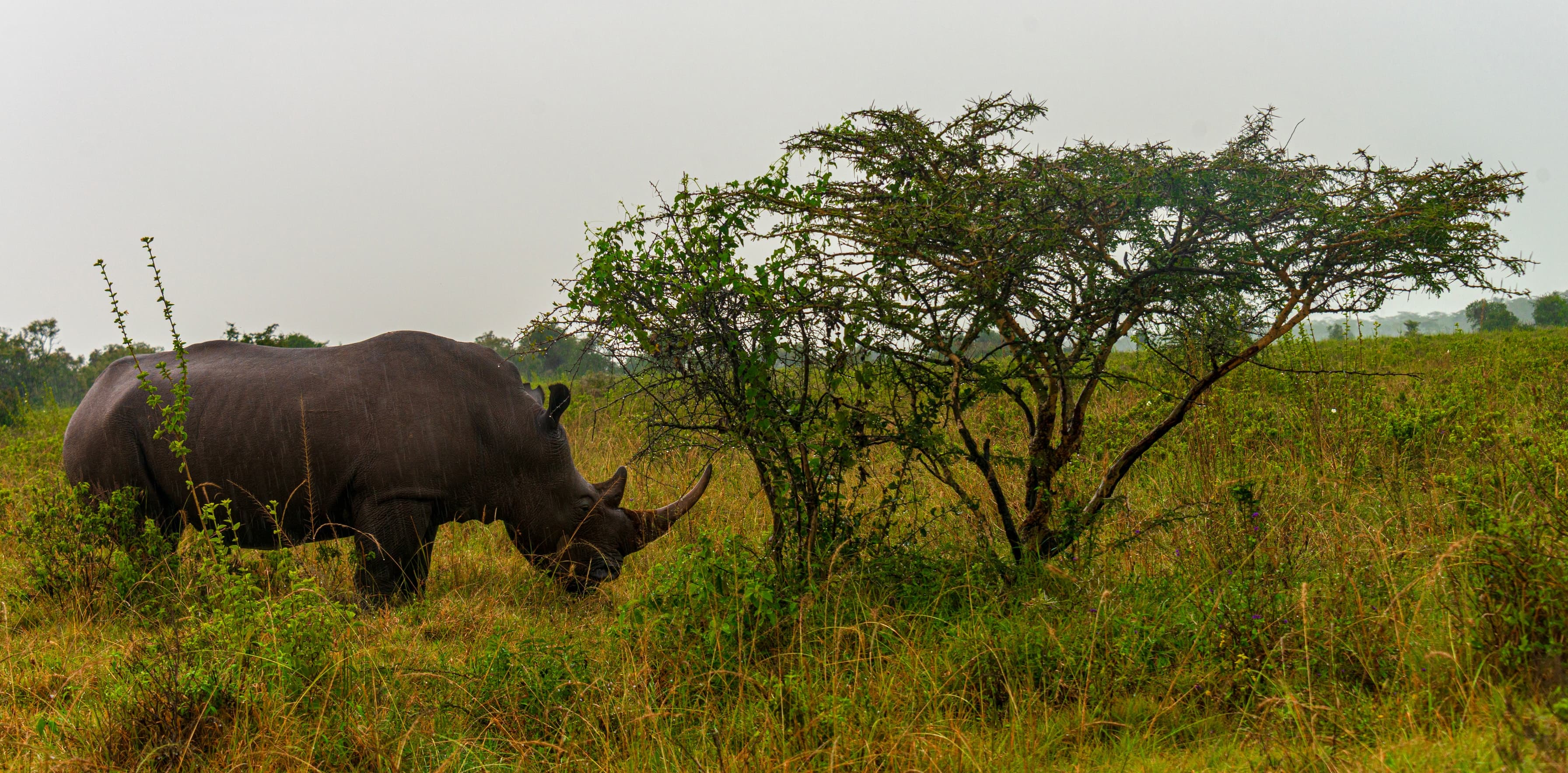
Kenya
Combined with Aberdares on 2 of our journeys.
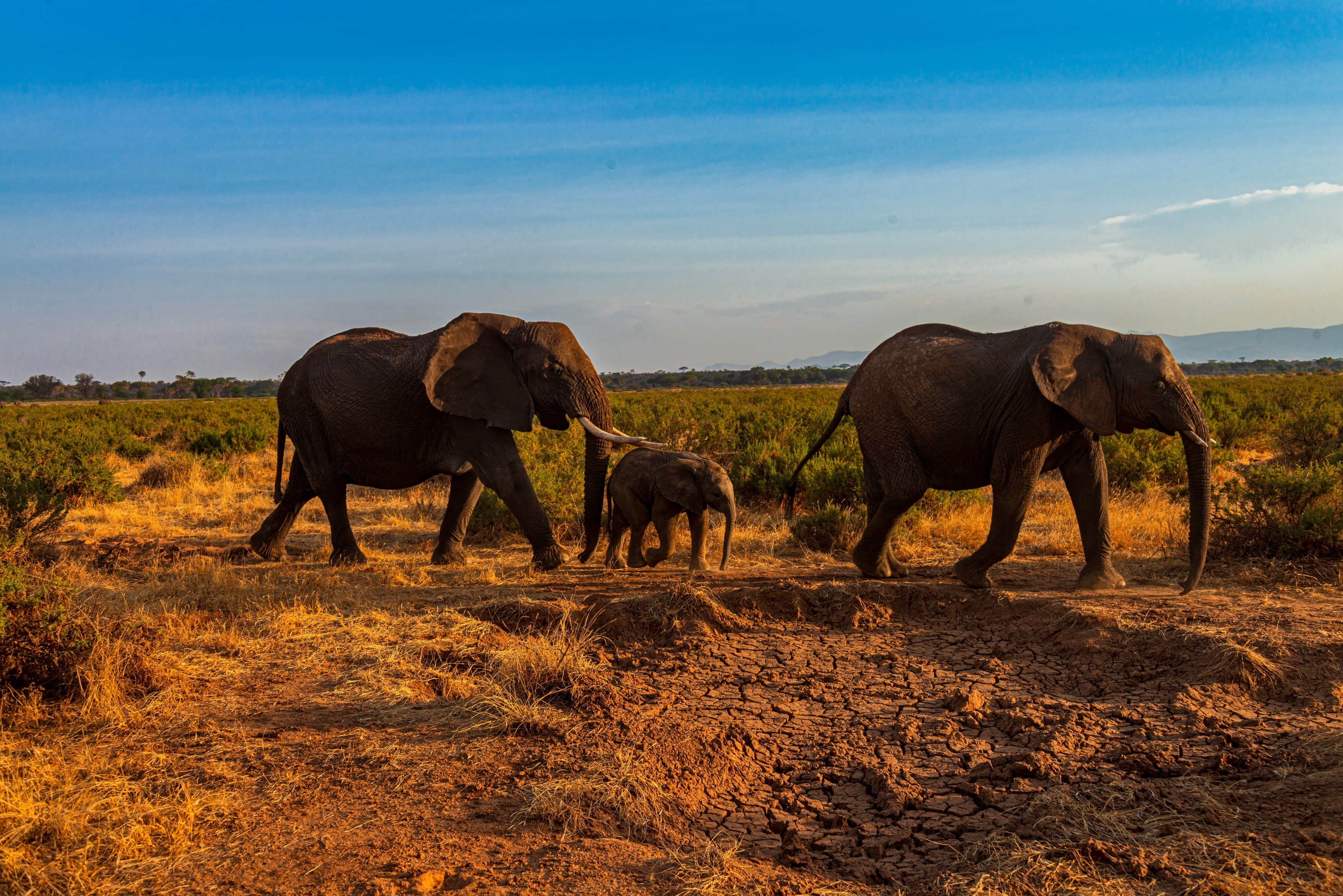
Kenya
Combined with Aberdares on 2 of our journeys.
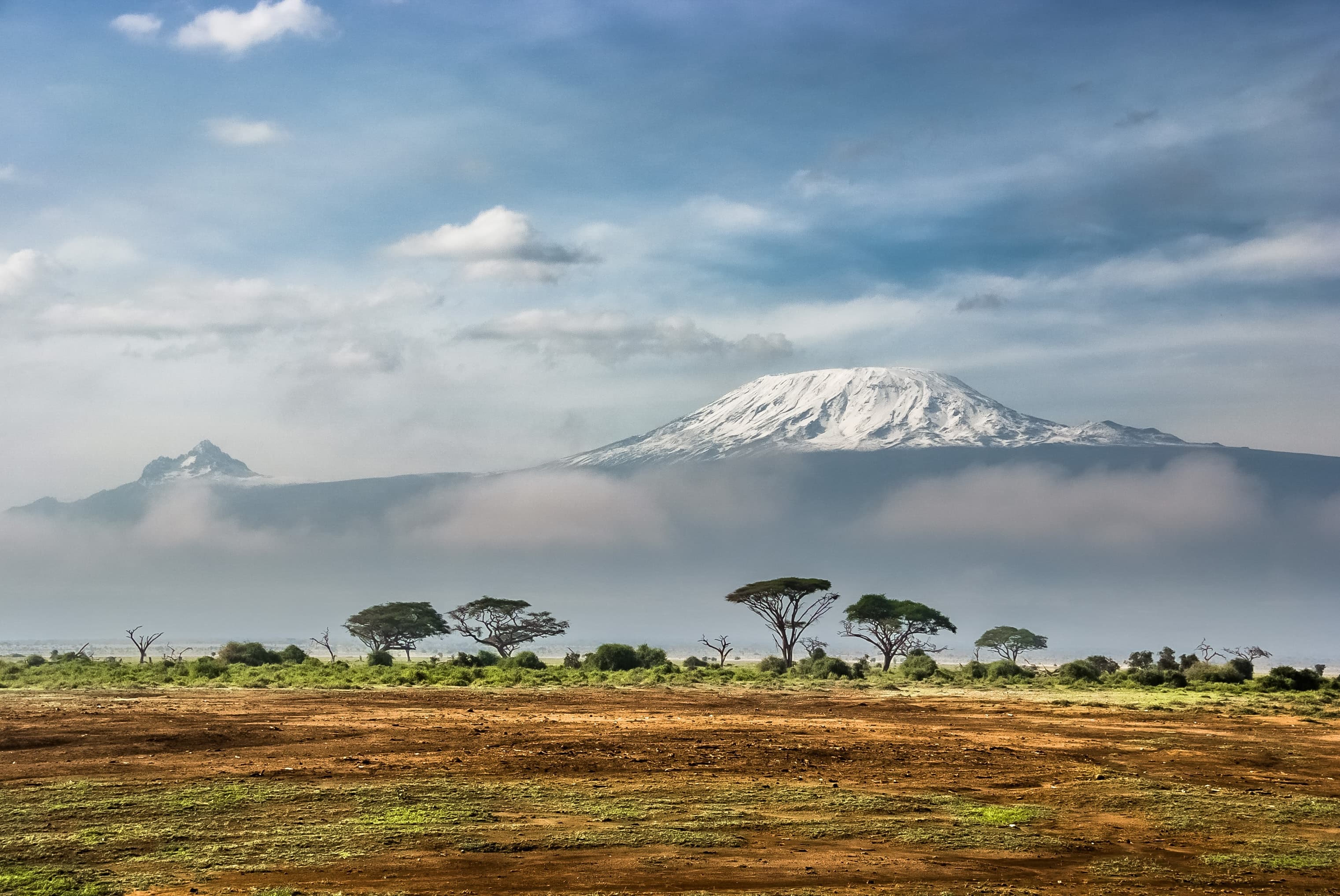
Kenya
Combined with Aberdares on one of our journeys.
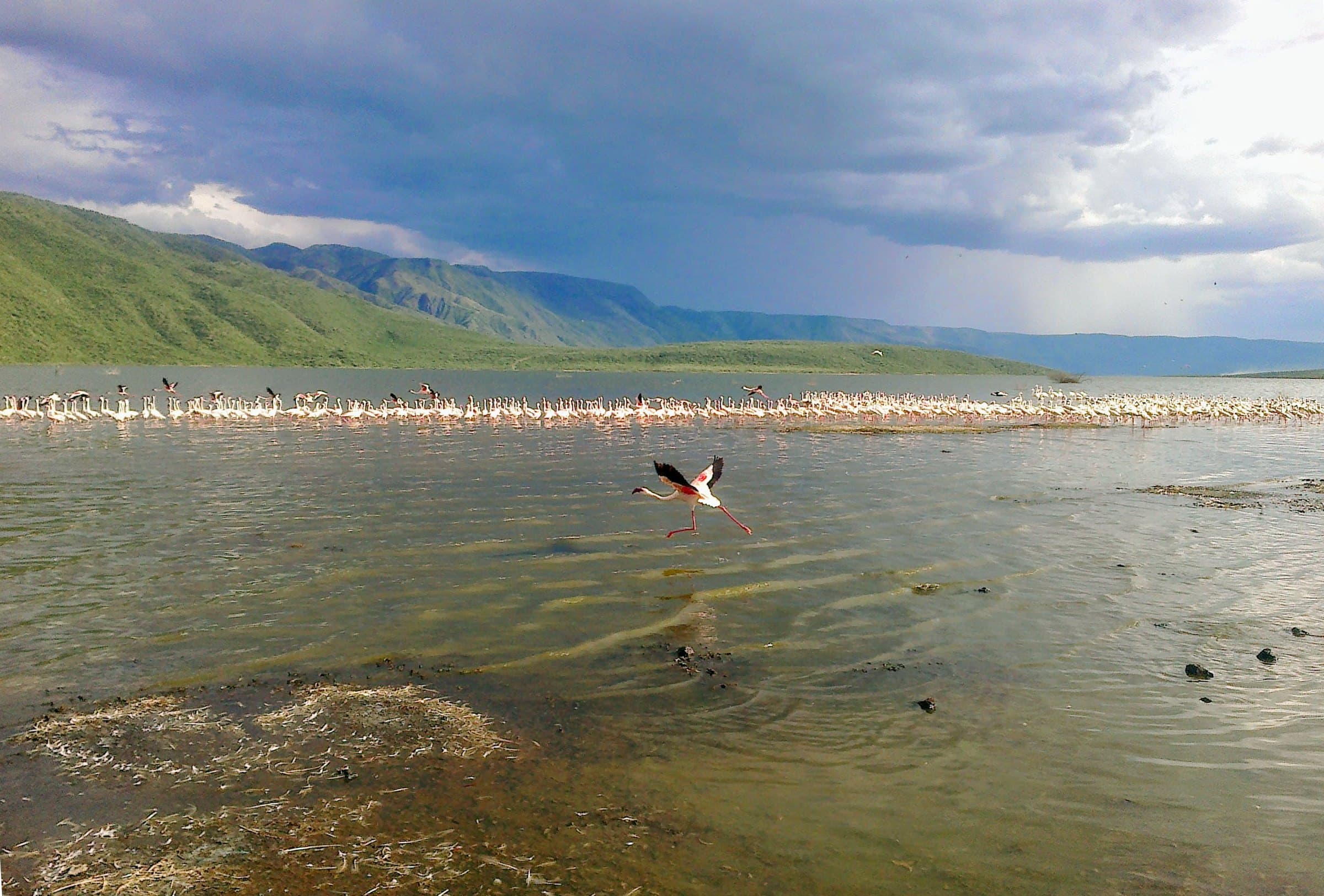
Kenya
Combined with Aberdares on one of our journeys.
Facts on this page were checked against these sources in October 2026. Park rules, fees and conditions change, so always check the latest before you travel.
Tell us when you would like to travel and who is coming, and our team will suggest safaris that include Aberdares.